Mapping is one of the least understood applications for drones. Maps are very useful for many industries, but if your customers require accurate measurements, additional controls are needed beyond simple photo processing. As drone-based photogrammetry becomes widely accepted, it is important to note best practices that help ensure quality, trusted insights for your clients. In Andrew Maximow's latest article, he covers what is needed in a drone mapping system to produce and collect accurate, quality data. Check it out here.
Learn how Firmatek's new strategic Drone Program addresses the complex needs of clients and delivers the same precise measurements and data analy ...View more

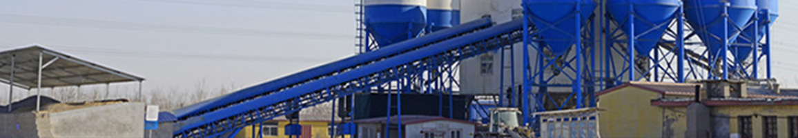
At Firmatek, we do a lot of inventory measurements for our clients. Often times, we know plant managers aren't thrilled about getting their inven ...View more
Firmatek provides independent, third-party measurement and reporting to help manage your business and inventory needs. Our data analytics solutio ...View more
Firmatek conducted a study comparing 3 types of equipment across 29 piles ranging in size on a site where we have significant historical data. In ...View more