Since its inception, AirGon (a wholly owned subsidiary of the GeoCue Group) has focused on high accuracy small unmanned aerial systems (sUAS or drone) for surface mine, industrial and construction site mapping. As a result of helping many customers piece together workflow solutions, it became obvious that a well-integrated softwate kit would save considerable time and frustration. Whether you are the owner/operator of a site or a service provider to the site, AirGon Mapping Suite is intended for just these applications. Rather than acquiring all the necessary components in a piecemeal fashion resulting in a steep learning curve, the mapping suite includes all of the software components necessary to create a smooth workflow solution for high accuracy data acquisition, processing, analysis and data delivery
What can drones do for you? If you are wondering how drones can be integrated into your operations, we invite you to read our Drone Mapping Consi ...View more

This paper is an introduction to AirGon’s Bring Your Own Drone (BYOD) Mapping Kit. This kit contains all of the software components and traini ...View more
LP360 for sUAS is an advanced desktop application designed to make easy work of extracting information and derived products from data collected b ...View more
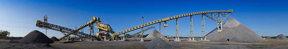
Small Unmanned Aerial Systems (sUAS or drones) along with exciting new image processing algorithms are enabling a fundamental change in how stock ...View more